
Project 02 / Research prototype
City Limits
A geospatial-to-Unreal pipeline. Real New Zealand source data, transformed into the foundation of an explorable environment.
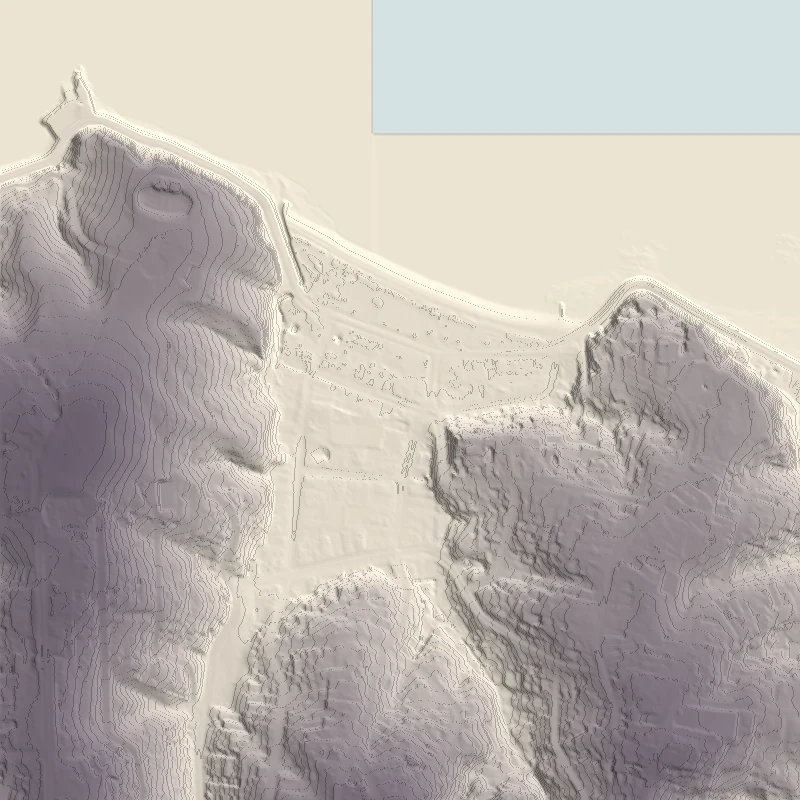
The problem
Bring a real place
into a virtual world.
Terrain, building outlines and road data come from different sources, with different coordinates, completeness and licensing. Getting them to agree is a pipeline problem before it is an environment-design problem.
City Limits uses Mission Bay as a focused geographic proof. The work preserves source coordinates and provenance, then prepares terrain, building proxies and map context for Unreal Engine.
The pipeline
A place, in four stages.
- 01
Acquire
Dated LINZ terrain and building sources; supplementary map context.
Retain source identity - 02
Normalise
Crop the area and preserve a consistent NZTM2000 coordinate frame.
EPSG:2193 - 03
Prepare
Generate heightmaps, footprint proxies and context with source metadata.
Repeatable derivatives - 04
Import & check
Rebase into Unreal centimetres, then inspect placement and alignment.
East +X · North −Y · Up +Z
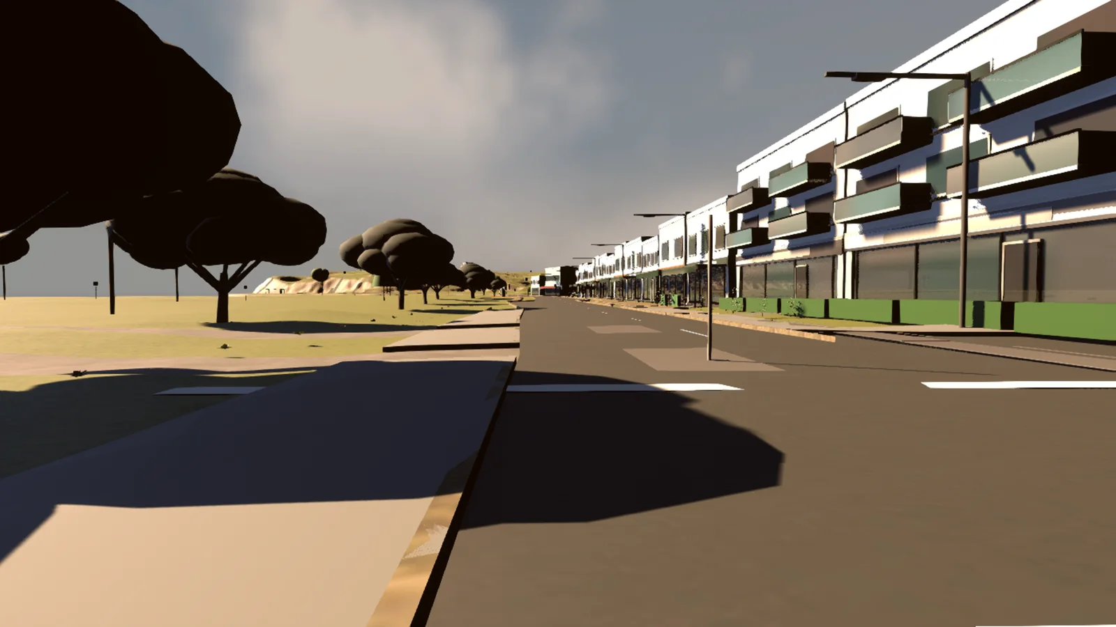
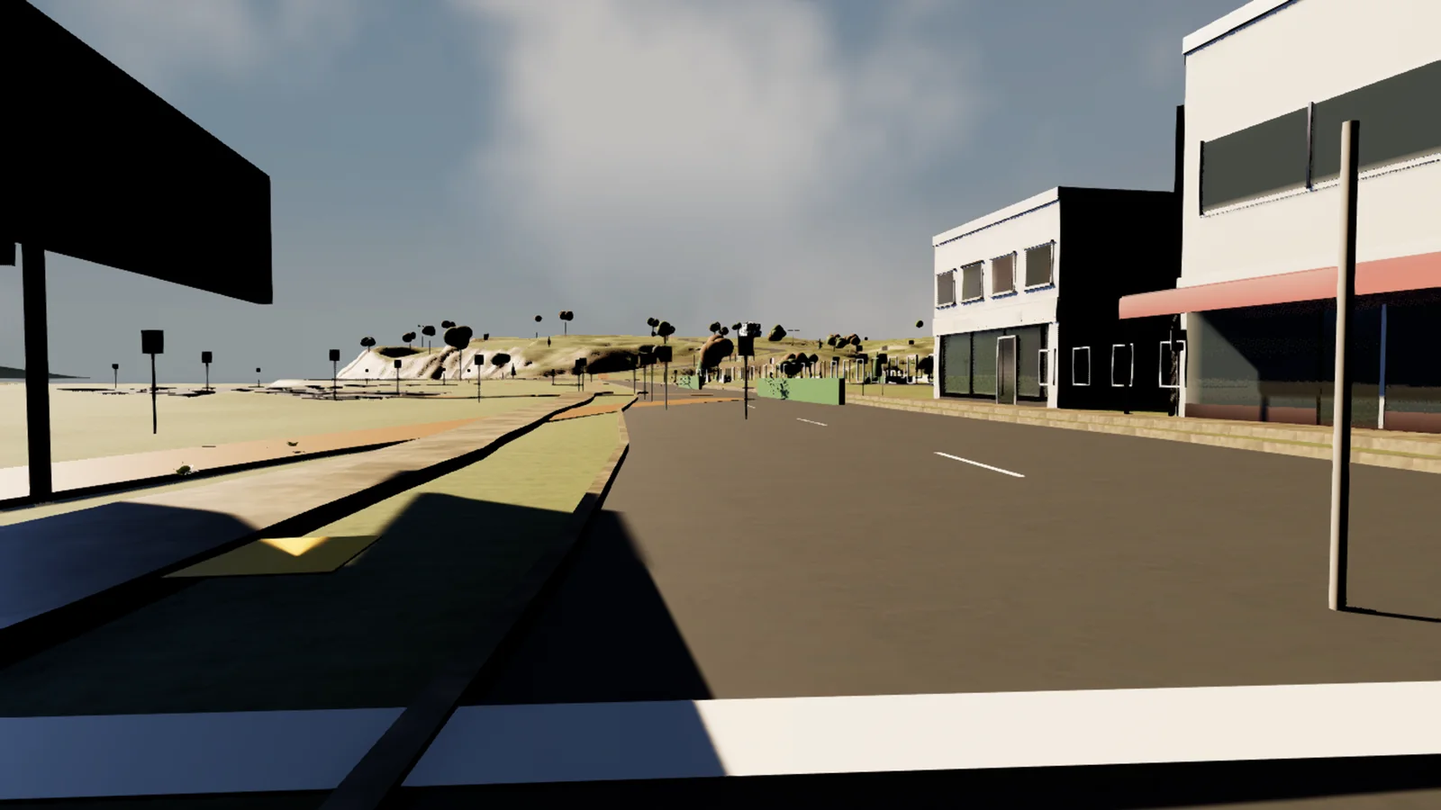
In the engine.
Development captures from the Unreal
scene, 16 November 2026.
Every source has a role.
Authority, context and inference
remain distinguishable.
- LINZ & LiDAR
- Building outlines and LiDAR-derived elevation underpin the Mission Bay proof. The documented source raster covers a 1.5 km × 1.5 km area at 1 m spacing.
- OpenStreetMap
- Supplementary road, coastline and contextual data. Kept distinguishable from authoritative datasets, with attribution and provenance.
- GPS / WGS84
- The geographic acquisition anchor is stored in WGS84 before transformation to NZTM2000. A live GPS-to-Unreal feed has not been verified for this case study.
- Unreal Engine
- The destination for generated terrain and editable environment layers. Canonical geographic coordinates remain in the source pipeline.
Current evidence & next steps
A foundation to build on.
Project records document a real LINZ building crop, terrain preparation, OSM context generation and a shared coordinate contract. Older preview maps are distinguished from the newer canonical geographic workflow.
This is a developing pipeline, with incomplete source coverage and ongoing alignment and environment QA. It is not presented as a completed city, a surveyed digital twin or a finished game.
The captures above are working-scene reviews from the current development build; environment art, source coverage and alignment remain in progress. A reproducible source-to-scene check set is still to come.
Data credits
Contains data sourced from Land Information New Zealand (LINZ) and licensed for reuse under CC BY 4.0. Terrain presentation adapted through colour mapping and relief shading.
Terrain source: Auckland Part 1 LiDAR 1m DEM (2024). Building source: NZ Building Outlines.
Map context: © OpenStreetMap contributors · ODbL. The terrain illustration above is derived from LINZ elevation data.